Around 6800 cal BC first agro-pastoral groups settled in Europe. Given that some of the earlier Neolithic groups of the Old World were settled in both coastal and mainland Thessaly, this region has been designated as a significant field for the understanding of the development of the gradual Neolithization of Europe. The regional geomorphology features a distinctive unit with clear boundaries and subsections making Thessaly suitable for the study of the settlement patterns of early agricultural societies during the Neolithic period.
The research project ‘IGEAN – Innovative geophysical approaches for the study of early agricultural villages of Neolithic Thessaly’ will conduct systematic and large-scale geophysical research at a large number of Neolithic tell sites (magoules) organized for the first time in Thessaly. The key aim of the project is to identify intra- and inter-site spatial patterns of contemporary Neolithic settlements in the region under study through the comparative study of archaeological and geophysical data. The geophysical research is conducted at a local scale that gives prominence to the emergent diversity and variability of habitation models during the Neolithic. One of the major contributions of the project is the application of non-destructive methods in the selected archaeological sites that have been partially excavated or have been identified by survey expeditions. Moreover, the broad surface coverage provided by the application of geophysical prospection aims to map the full extent of each selected site and to reveal how space was organized within and around the settlements under study (ditches, buildings, open-air spaces, structures, and land use). Such a local scale holistic analysis enhances comparative discussions on the formation of social space at the coastal zone of Magnesia County to the hinterland of the Thessalian plain and beyond.
The site selection is based on the following criteria: a) all sites are located in Magnesia County under the authority and supervision of the Ephorate of Antiquities of Magnesia, b) the sites are dated to the Neolithic period and the early stages of the Early Bronze Age, c) the areas selected are free of current buildings or structures that would disrupt geophysical analyses, d) in order to comparatively evaluate the results of geophysical research it has been important to select sites where archaeological excavations and/or surveys were performed in the past, and e) focus in well defined geographical areas, such as the Almiros plain and the area of Velestino – Karla lake, aimed at the identification of settlement patterns in comparison with landscape habitation choices.
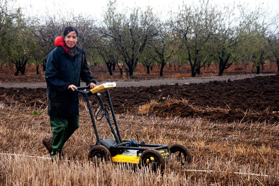
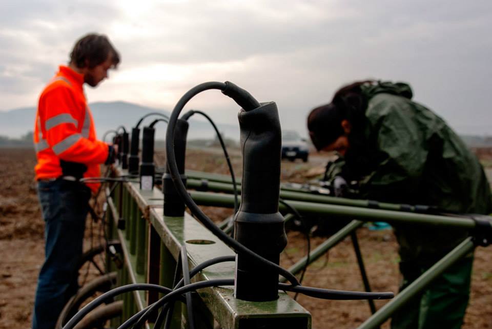
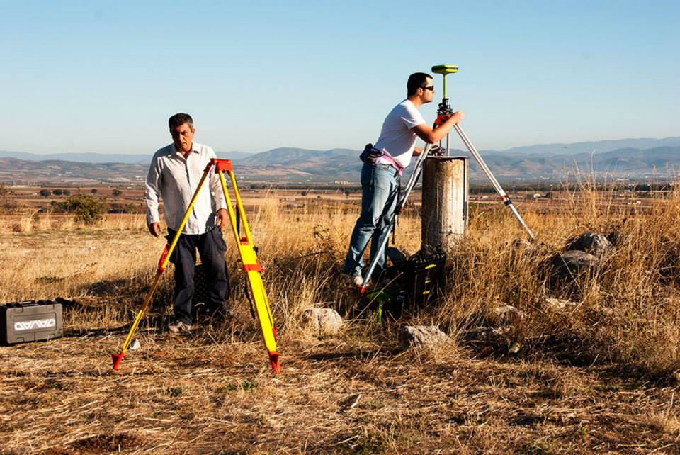
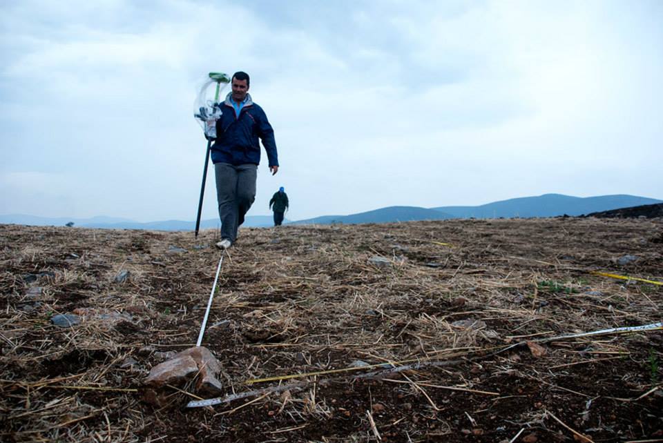
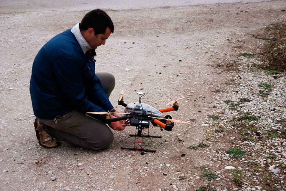
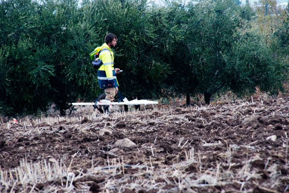
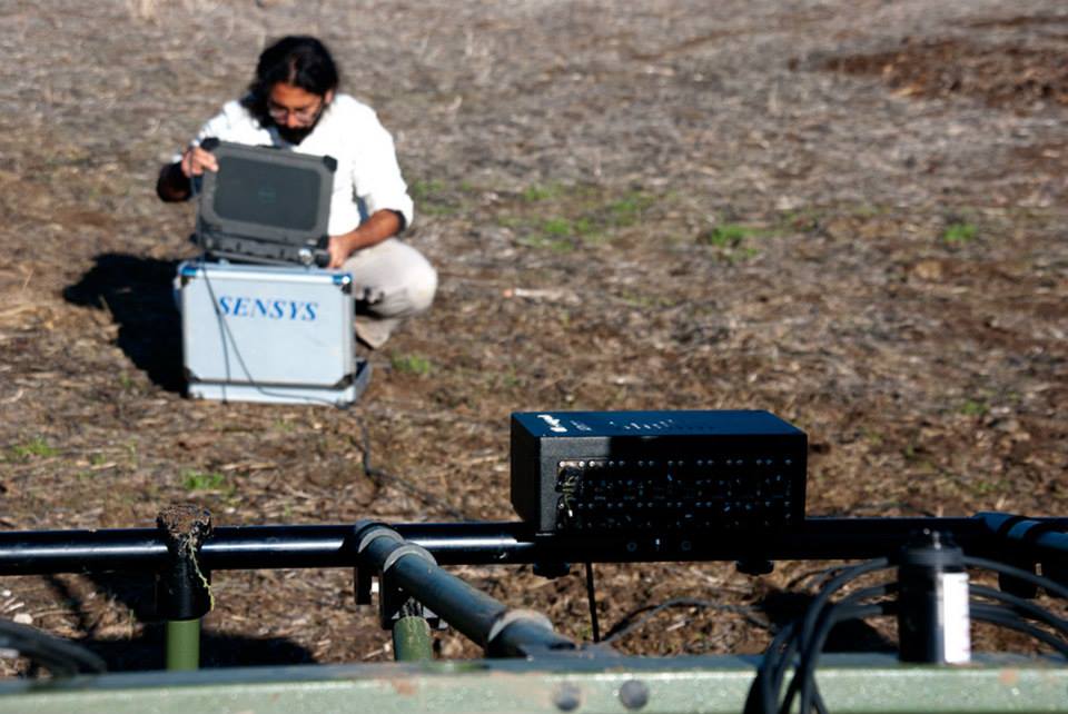
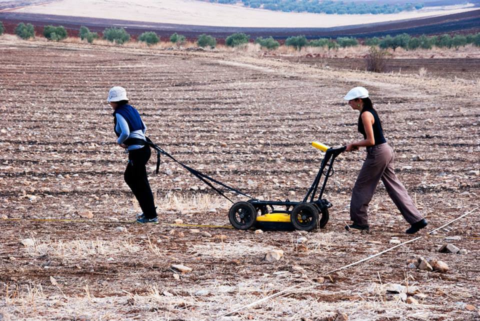
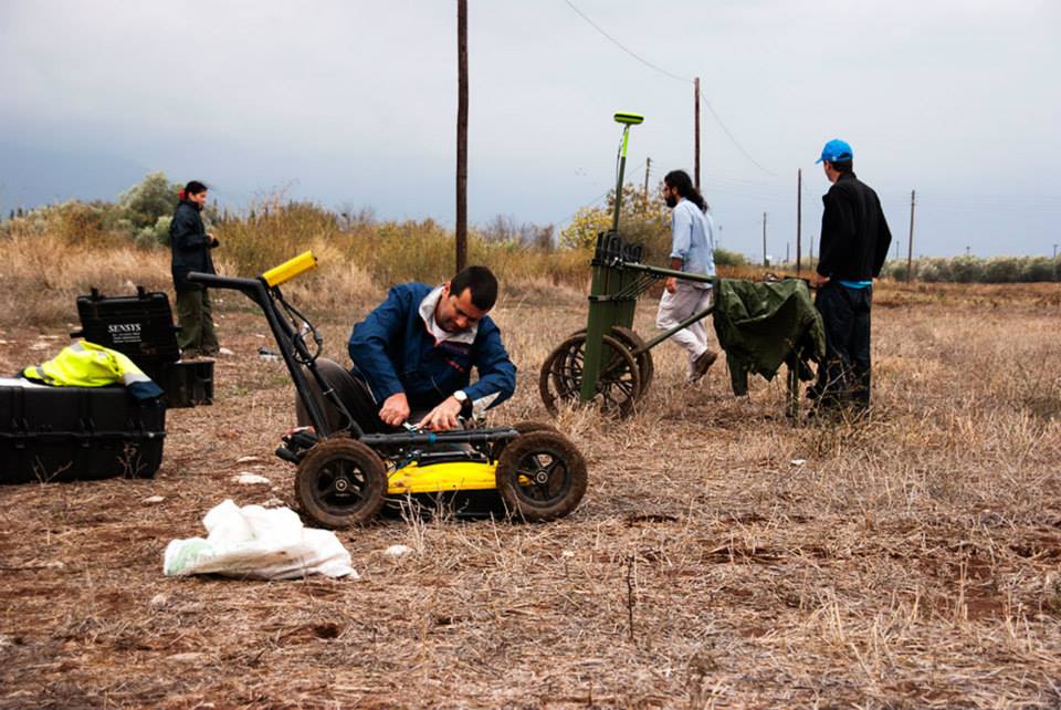
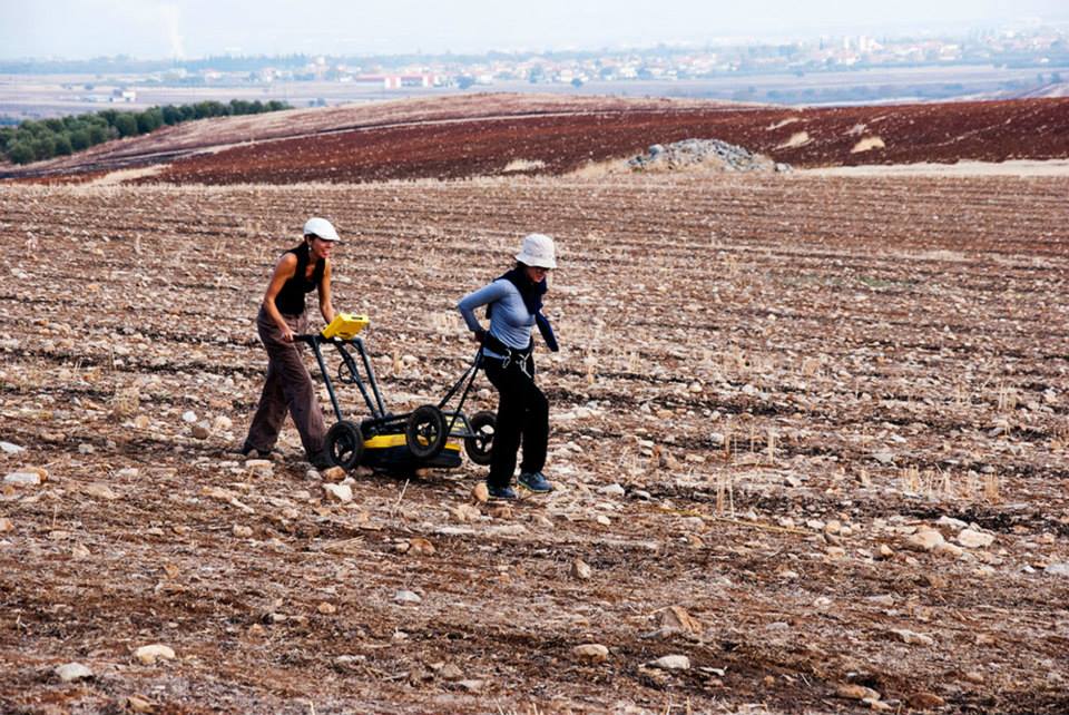
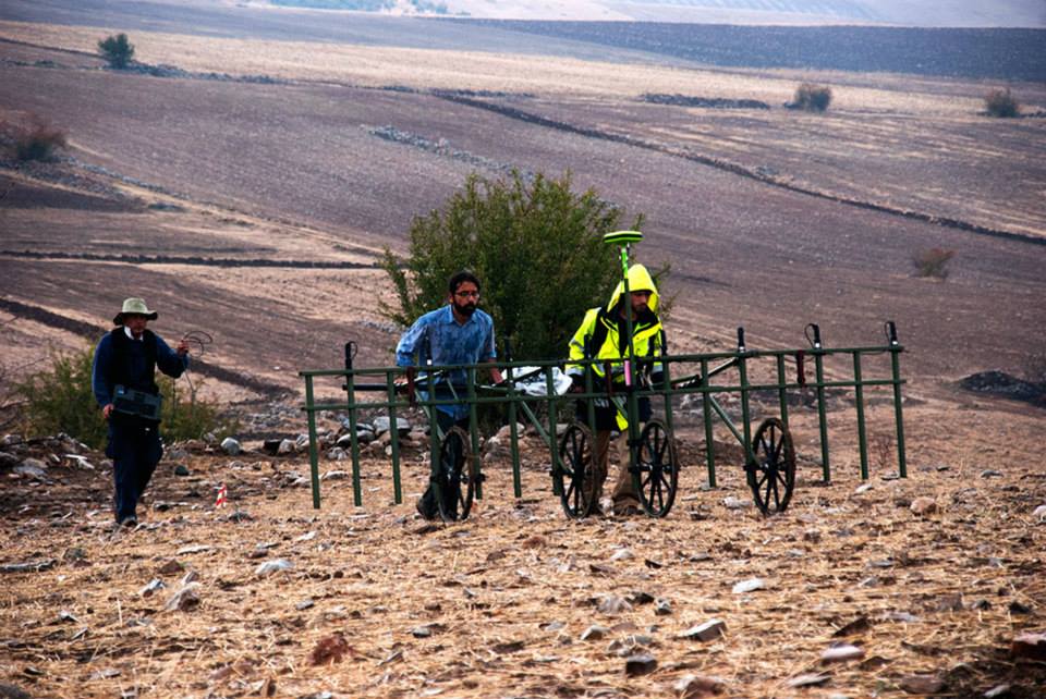
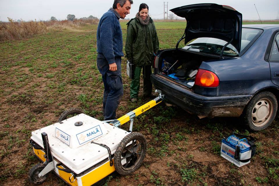
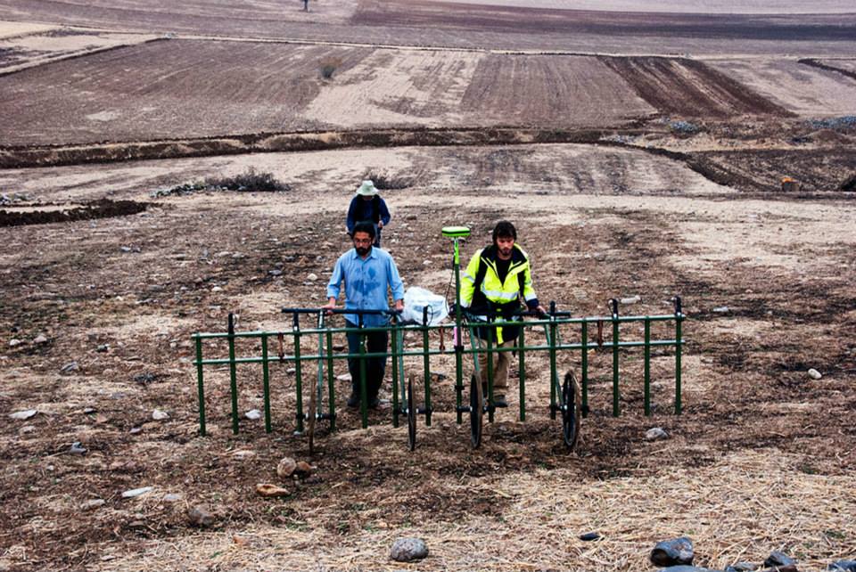
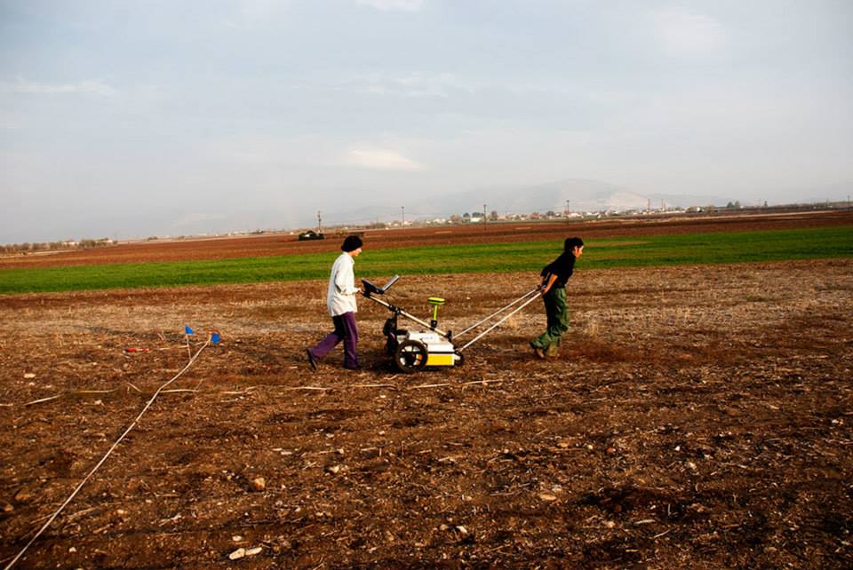
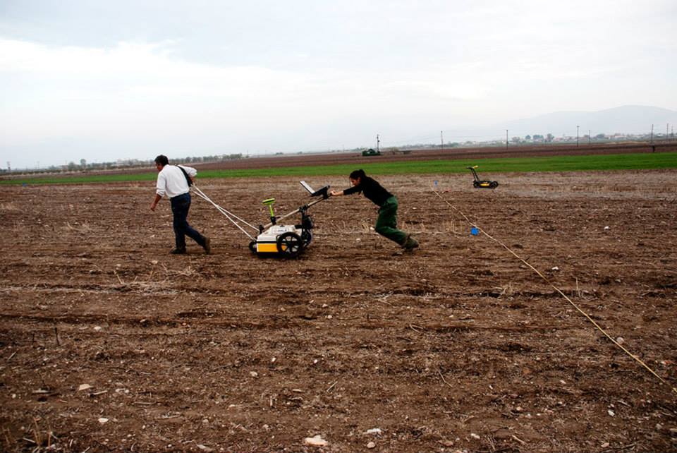
For the needs of the project a specific geophysical strategy was developed to achieve rapid and high resolution assessment of the sub-surface of each Neolithic settlement and their immediate surroundings. Geophysical research will make use of innovative and multidimensional geophysical instruments and techniques (multi-sensor magnetic prospections, multi-antenna GPR, UAV-IR, chemical and magnetic analyses) needed for large-scale spatial coverage and will enable the study of a great number of Neolithic sites. Given the large scale and direct comparison of geophysical results across different Neolithic settlements a new perspective of how prehistoric settlements developed in the area is expected to creatively trigger discussions on habitation models in diverse landscape environments in the region, and on the land use, economy, social organization and coexistence of contemporary groups.
The project is organized by the Laboratory of Geophysical – Satellite Remote Sensing and Archaeo-environment, Institute for Mediterranean Studies, Foundation for Research and Technology – Hellas in cooperation with the Ephorate of Antiquities of Magnesia, in the framework of the Operational Program ‘ARISTEIA’, ‘Education and Life Long Learning’ and is co-sponsored from European Union and National Resources.
